Groundwater level monitoring: Not as simple as it seems (3 of 3)
This is the last of three articles where we share some commonly overlooked issues that could impair your water level data and subsequent assessments. In other articles we have explored the selection of the ideal datum and thought about the selection, use and maintenance of a water level dipper. Unfortunately, these alone cannot guarantee precise and accurate groundwater surface elevation data.
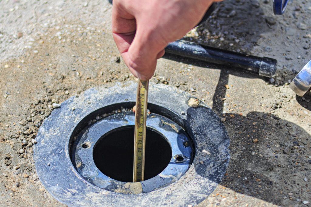
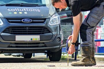
Water level monitoring is a doddle, right? Chuck one of those water level dipper tapes down a monitoring well until it goes “beep” and note the depth it says at the surface? Well, not really – in these days of millimetre accurate topographical surveys, we really should be able to consistently, precisely and accurately measure the depth to groundwater at a site.
Water level monitoring: Have you considered…?
At Soilutions, we use our collective experience to help spot other issues during site-works, or during subsequent data assessment which may impact the measured water elevations. Seemingly anomalous water elevations may be caused by other factors, or indeed be true. Here are some of the more typical considerations made when collecting or processing water elevation data (beyond datum selection and water dipper functionality):
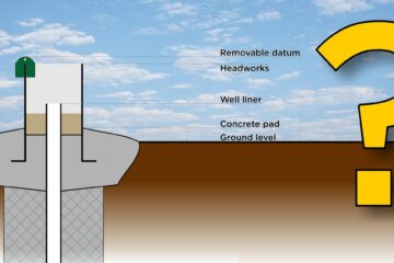
- Verticality of monitoring well. An experienced technician should be able to “feel” if a monitoring well is angled or kinked, perhaps due to subsidence.
- Artesian groundwater. Is the monitored water body artesian or part of a confined aquifer?
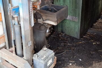
- Light non-aqueous phase liquid (LNAPL). A LNAPL is a layer or film of product which floats on the water surface.
- A regular water level dipper probe is unlikely to detect the surface of a LNAPL layer. The dipper probe will pass through the layer without sounding. Depending on the viscosity of the layer/film and how “coated” the probe gets, it may not start sounding when it does reach the water below the LNAPL. An experienced technician should become aware of product once the probe is returned to surface. More specialist oil-water interface probes allow the measurement to LNAPL surface and water surface.
- Depressed water levels. A significant layer of LNAPL floating on top of the groundwater table can effectively reduce the groundwater surface elevation. With some assumptions or laboratory analysis we can mathematically compensate for such depression.
- Well acting as sump. It is a known phenomenon that a monitoring well intersecting a plume of LNAPL may act like a sump and have a thickness of product far thicker than in the surrounding aquifer. Correct purging and sampling techniques can help minimise this effect.
- Tidal influence. If a monitoring well is connected to a water body influenced by tides, the water elevations measured will be dependent on the tidal level at the time. There may be a time lag between the local tide and levels within the well. There would typically be a need for more intensive (temporally) monitoring using a datalogger and pressure transducer instead of a manual dipper. Soilutions have a number of these in our monitoring stock.
- Localised influencers. Other inputs to and outputs from a groundwater body (either natural or anthropogenic) may temporarily alter the groundwater surface elevation. These might include:
- Broken drains
- Rainfall (or lack thereof)
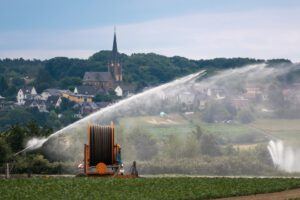
- Irrigation
- Water abstraction
- Ground loading/unloading
- Pump tests
- Broken drains
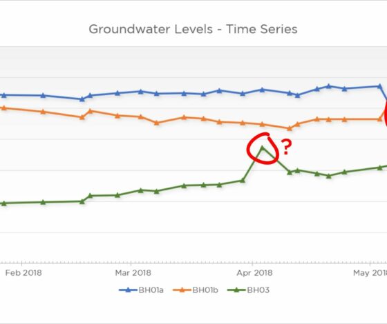
- Monitoring protocols. Datasets collected over a long time period may involve different collection protocols, different equipment and/or changes in personnel. Apparent step-changes over time may be due to datum changes, repaired tapes, incorrectly identified monitoring wells, typo’s, rounding of measurements to nearest centimetre or various other factors which would need to be accounted for. Plotting the data in time-series (see the example at the top of this article) can help visually identify such step-changes for investigation – remember they may also be real!
- “Air lock”. Where the slotted section of a monitoring well is fully submerged in groundwater and where the monitoring well is sealed at the surface with a gas tight cap, changes in groundwater elevation may not be represented in the well. A rise in groundwater elevation would require air in the monitoring well to be displaced – this cannot happen if the well is air-tight (and vice-versa for falling groundwater). This issue can be mitigated by unsealing the well.
- Depth to base. It is good practice to periodically check the depth to the base of the monitoring well either with the water level dipper or a heavier plumb-line tape. Remember that some water level probes have a sheath over the sensor, increasing overall length – dips to base will have to be corrected by this increased distance. With this knowledge we can determine if the well is silting up but also whether measured “water levels” are true or likely just moist sediments at the well base.
That summary of considerations ended up being quite a dense read – but it feels good to share the knowledge and to remind us all that measuring water levels is not as straightforward as to “chuck one of those water level dipper tapes down a monitoring well until it goes “beep” and note the depth it says at the surface”.
2021
Phase 2 Site Investigations
Do you want an insight on Phase 2 Site Investigations? This eBook has been written specifically for those new to contaminated land and provides an overview for the uninitiated of what steps you need to follow.


Leave a Reply