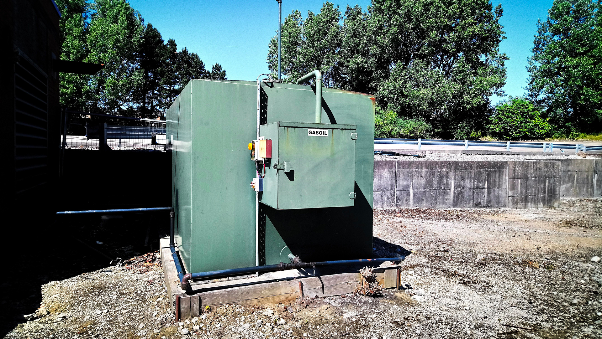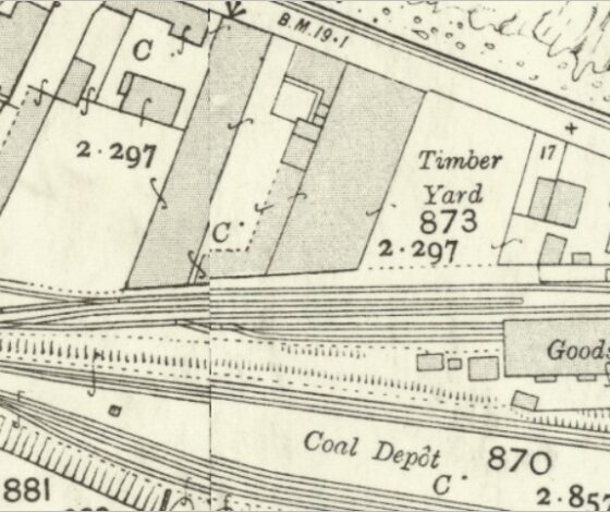
In the context of contaminated land assessment, a “Phase 1” is usually the minimum requirement to meet environmental planning conditions. It is a non-intrusive desktop survey which identifies potential risks to the health of site users and/or the environment, posed by historic and ongoing activities at the site that may have resulted in ground contamination.
The rationale for undertaking the assessment is to collate all available data at and near to a location regarding former and current uses – the published geology, historic mapping, coal mining records etc and then make a professional judgement regarding potentially significant risks to identified receptors from contaminants known or potentially present. Such risks are qualitatively assessed.

The desk-based study may also be supplemented by a site walkover by a geoenvironmental engineer to look for visual signs of contamination or former contamination sources.
The outcome of a Phase 1 would typically be a record of the information considered and a list of complete pollutant linkages (a potential contamination source can reach a potential receptor via an exposure pathway) and a judgement based (qualitative) assessment as to the potential significance of such linkages.
Where one or more potentially significant pollutant linkages are identified, further work is required – typically a Phase 2.
2021
Phase 1 Desk Studies / Preliminary Risk Assessments
Do you want an insight on Phase 1 Desk Studies / Preliminary Risk Assessments for Contaminated Land? This eBook has been written specifically for those new to contaminated land and provides an overview for the uninitiated of what steps you need to follow.


