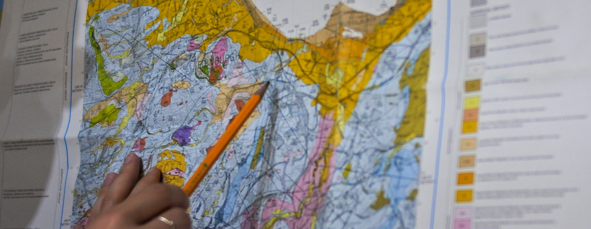
A Phase 1 report is predominantly a desk-based exercise in gathering as much information about the site and then making some initial judgement based assessment of potential risks based upon that information. As such, the are commonly referred to as a Phase 1 Desk Study or Phase 1 Preliminary Risk Assessment.
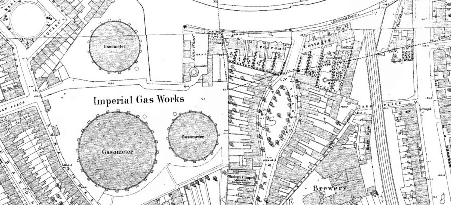
Information may be gathered from diverse sources, such as historical maps, records held by the Environment Agency or SEPA, geological and coal mining maps, aerial photography or site records.
The desk-based information gathering is often supplemented with a visit to the site and walk-over by a geoenvironmental engineer to look for present signs of contamination or past contaminative processes. Evidence may include for example storage of chemicals, under or over-ground fuel tanks, staining, asbestos containing materials, vegetation die-back or substations.
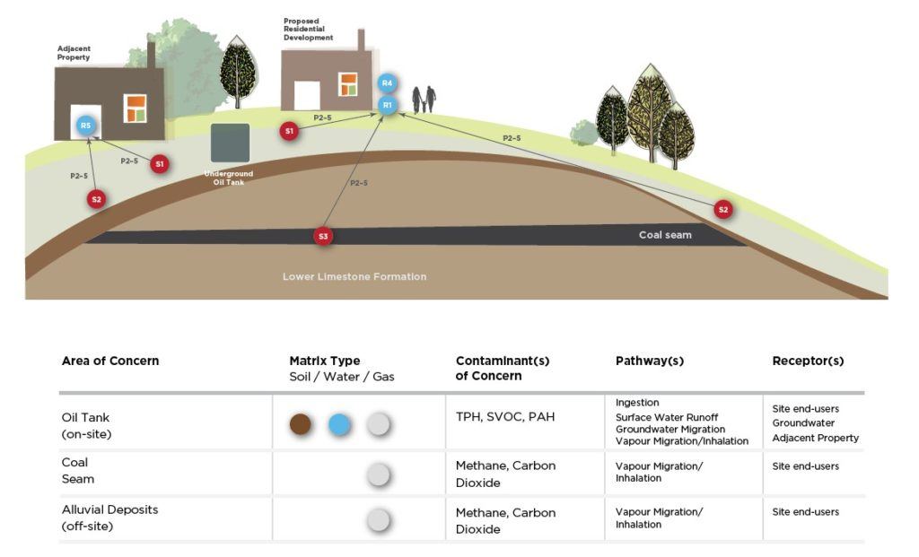
The information collated for a site is assessed to determine potential contaminants or contaminant sources, potential receptors (such as humans, the environment or buildings) and potential routes the contamination sources could reach a receptor – a pathway. Where a source is determined to reach an identified receptor via a pathway, a “pollutant linkage” is said to potentially exist. The compilation of pollutant linkages is presented as a conceptual site model (CSM), which may be tabulated or a pictorial cross-section.
You may have noticed the word “potential” used a lot in the previous sentences – the purpose of a Phase 1 is to identify what may be present at the site. Guidance and professional judgement qualitatively assesses the potential significance of identified risks. Where one or more potentially significant risks are identified – further work is required, typically a Phase 2.
2021
Phase 1 Desk Studies / Preliminary Risk Assessments
Do you want an insight on Phase 1 Desk Studies / Preliminary Risk Assessments for Contaminated Land? This eBook has been written specifically for those new to contaminated land and provides an overview for the uninitiated of what steps you need to follow.